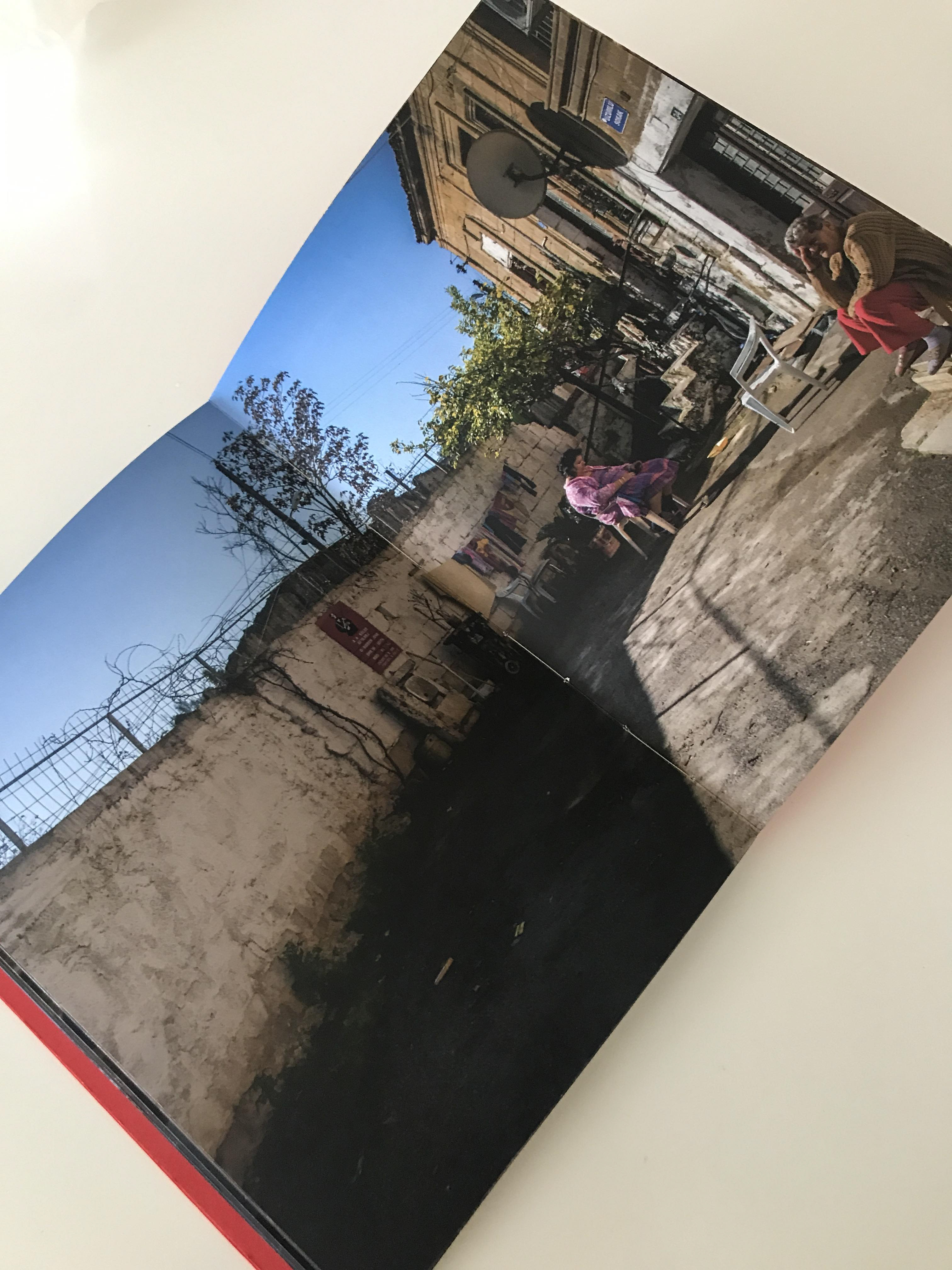
Softcover
80 pages
15 x 20 cm
Dummy Book
80 pages
15 x 20 cm
Dummy Book
The United Nations Buffer Zone in Cyprus, commonly known as the Green Line and often described as a “no man’s land,” was first established during the intercommunal conflicts of the 1960s. Following the division of the island in 1974, it became a permanent physical boundary separating the northern and southern parts of Cyprus.
The Buffer Zone runs through Nicosia from east to west, dividing the capital into two parts. Within the historic centre enclosed by the Venetian Walls, the distance between the two sides narrows dramatically; at its closest point, they are separated by only approximately 3.3 metres. Since 1974, the Turkish Cypriot community has predominantly lived in the northern part of the island, while the Greek Cypriot community has predominantly lived in the south.
Nicosia remains one of the most striking examples of a physically divided European capital. Its recent history is marked by conflict, fear, displacement, loss, and unresolved memories. In 1974, many people from both communities were forced to leave their homes, neighbourhoods, possessions, and personal histories behind as they moved either north or south.
For almost three decades, the division severely restricted movement between the two sides. Until the first crossing points opened in 2003, many people were unable to return to their former homes, visit old neighbourhoods, or reconnect freely with friends and neighbours across the divide. The political separation therefore transformed not only the geography of the city but also the everyday lives, relationships, and memories of its inhabitants.
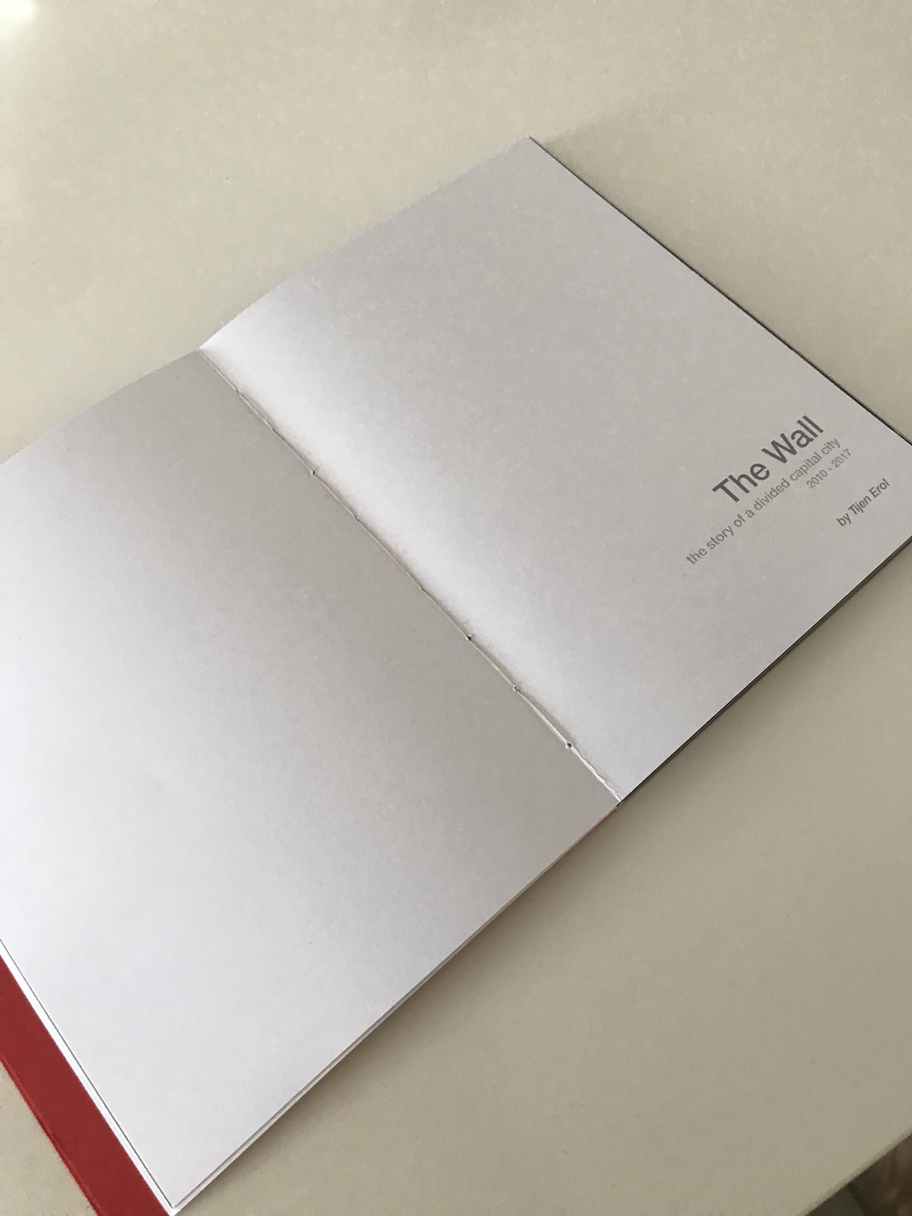
I developed The Wall around the section of the Buffer Zone that passes through the historic walled city of Nicosia. The Venetian Walls provide a powerful visual and conceptual paradox: while the city is divided internally, these monumental fortifications continue to encircle and contain it as a single urban space. In this sense, the walls can also be read as a symbol of an underlying interconnectedness that persists despite political and physical separation.
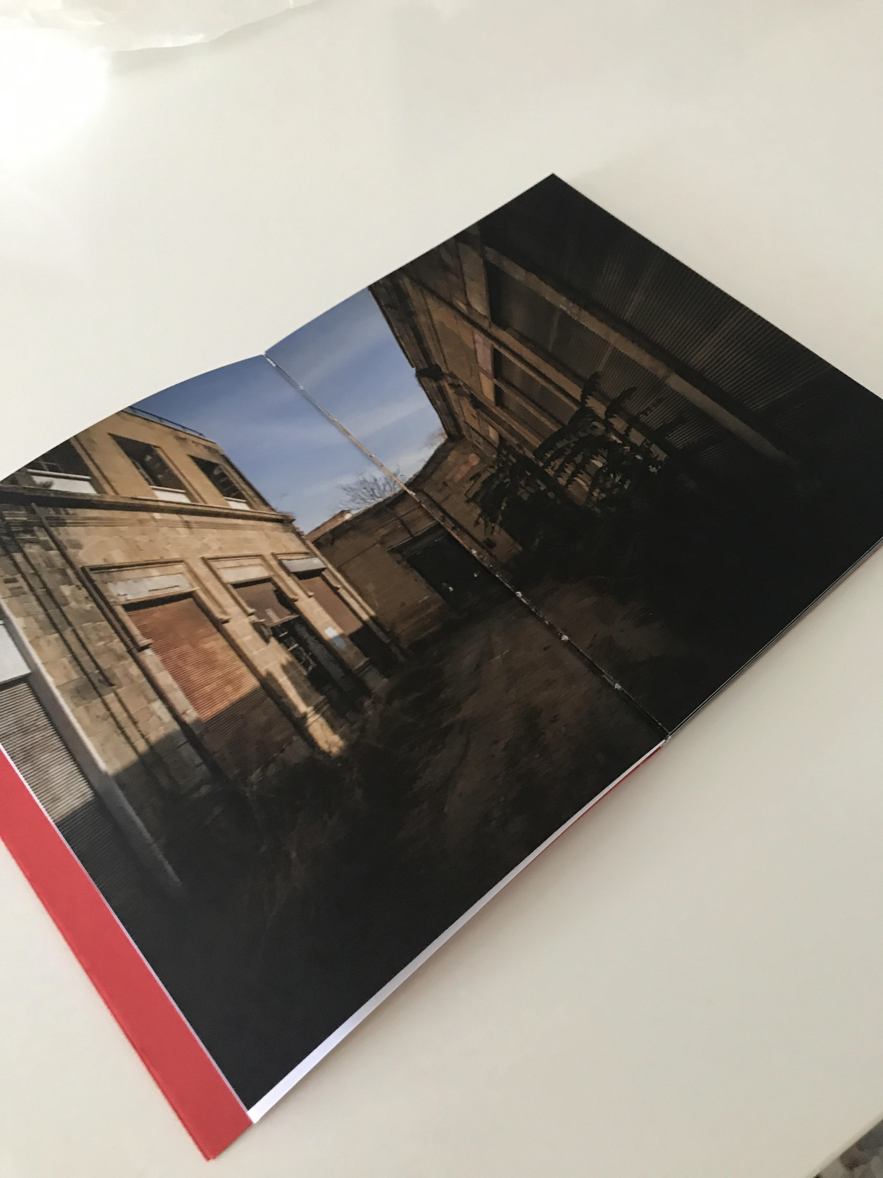
Since 1974, much of the territory within the Buffer Zone has remained inaccessible to ordinary civilian life. Abandoned houses, workshops, commercial buildings, and streets have gradually deteriorated, creating an urban landscape suspended between presence and absence. These spaces retain traces of lives abruptly interrupted, becoming silent witnesses to displacement and the passage of time.
Today, the political division of Cyprus remains unresolved. The Republic of Cyprus is a member of the European Union, while the Turkish Cypriot-administered northern part of the island is recognised as a state only by Turkey. This unresolved political condition continues to shape the spatial, social, and psychological landscape of Nicosia.
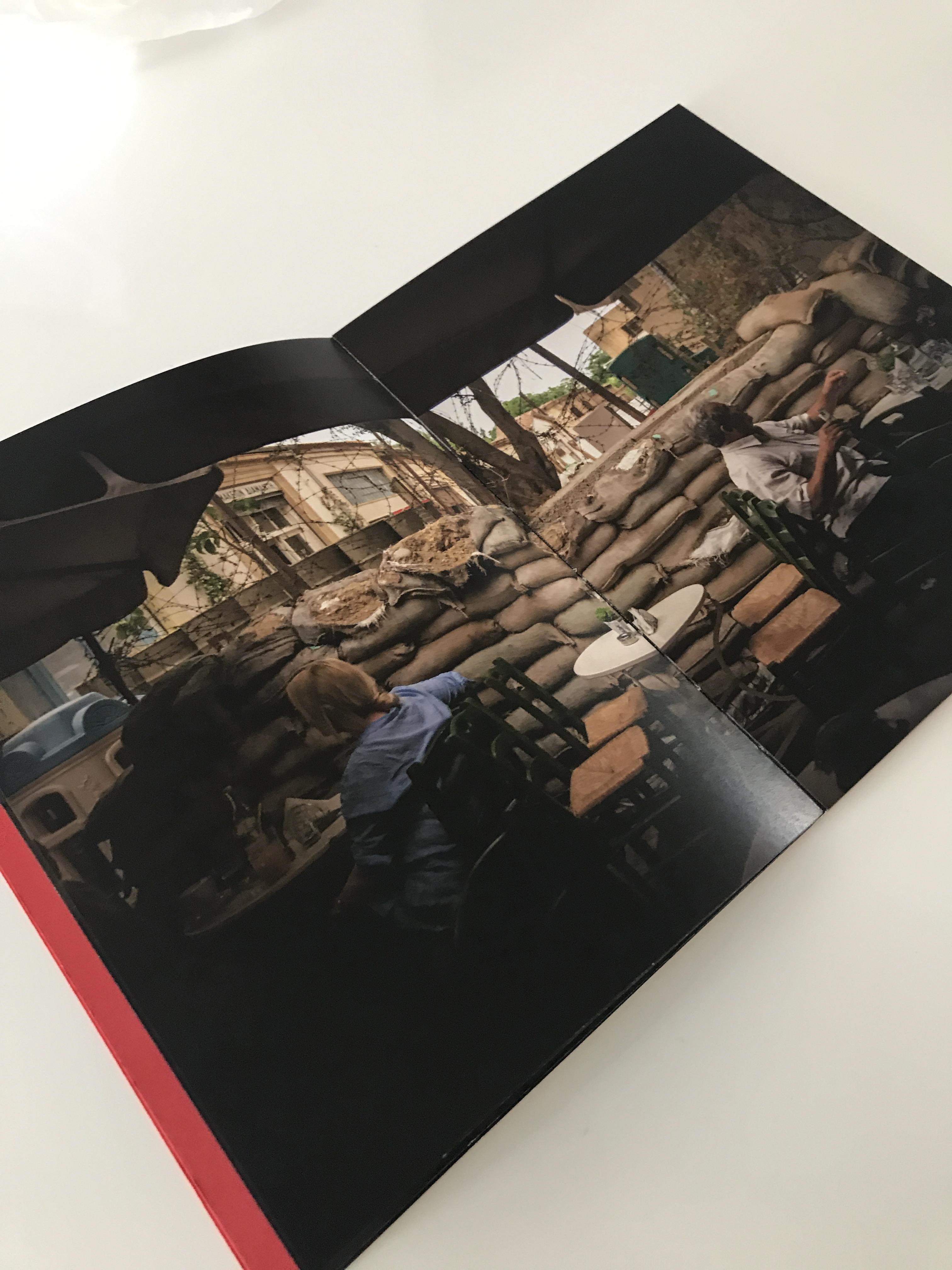
In The Wall, I photograph not only the spaces within and around the Buffer Zone, but also the everyday life that continues alongside it. People work, shop, meet, and move through streets immediately adjacent to barricades, checkpoints, military positions, and abandoned buildings. Over time, the physical division has become absorbed into the ordinary rhythm of the city, often appearing almost invisible within daily life.
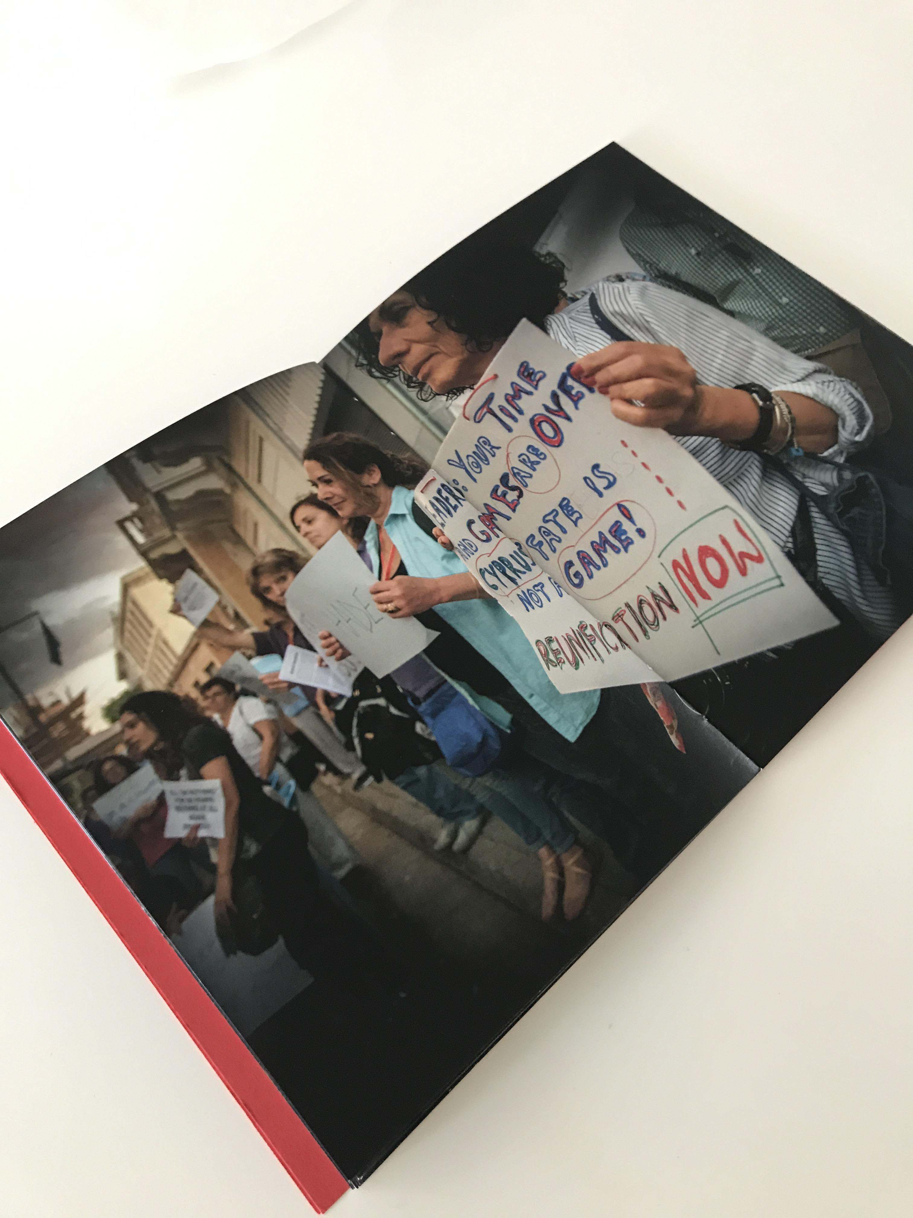
At the same time, the Buffer Zone has also become a site of political expression and collective aspiration. During periods of uncertainty in the Cyprus peace process, people from both communities have gathered in and around the divided city to call for renewed negotiations and a reunified Cyprus.
Through this project, I approach the Buffer Zone not simply as a political boundary, but as a landscape of memory, absence, displacement, and everyday coexistence. The Wall examines how division becomes inscribed onto architecture and urban space, while also questioning how people continue to live beside, across, and in spite of a border that has shaped the city for more than half a century.