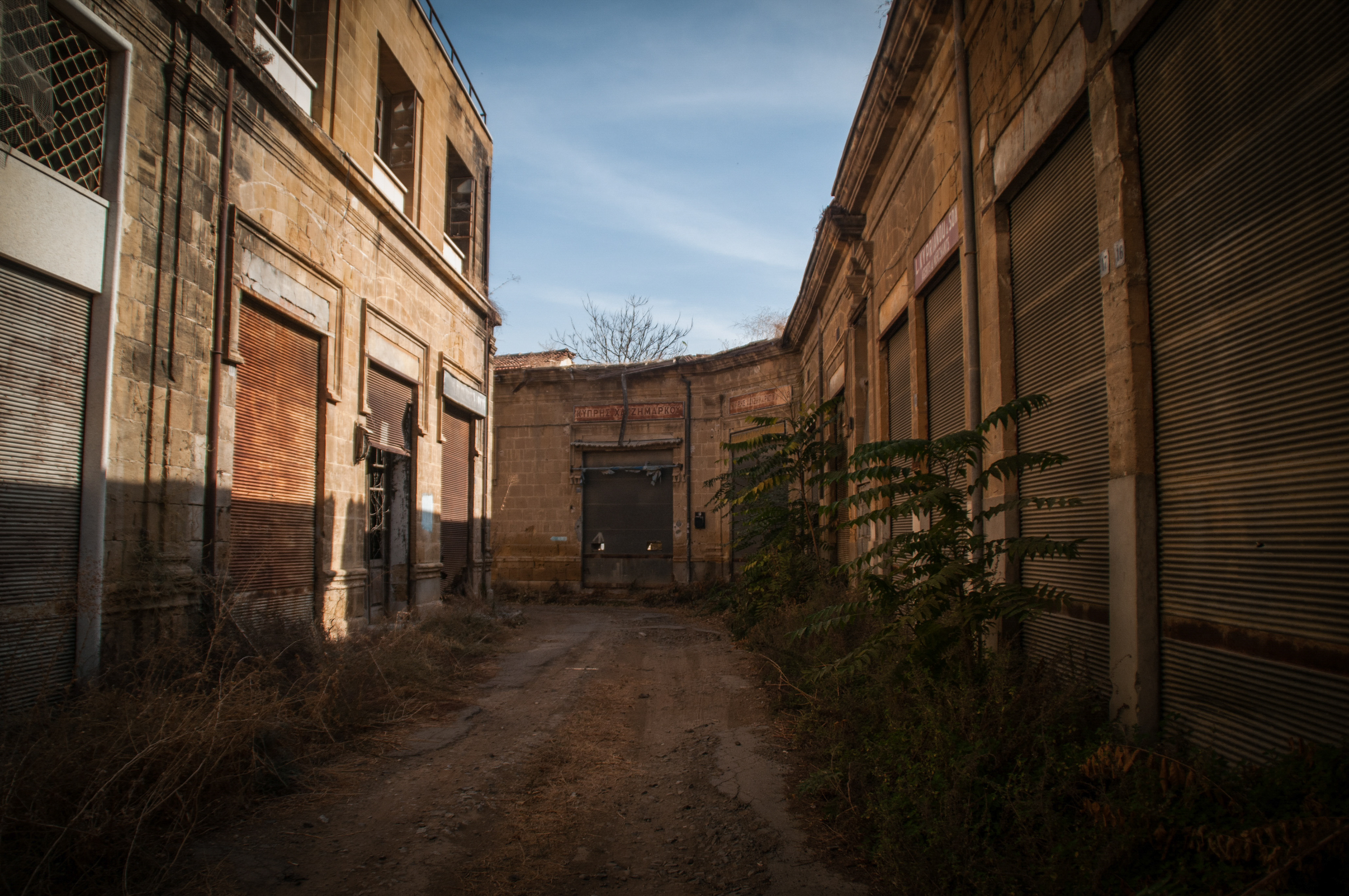
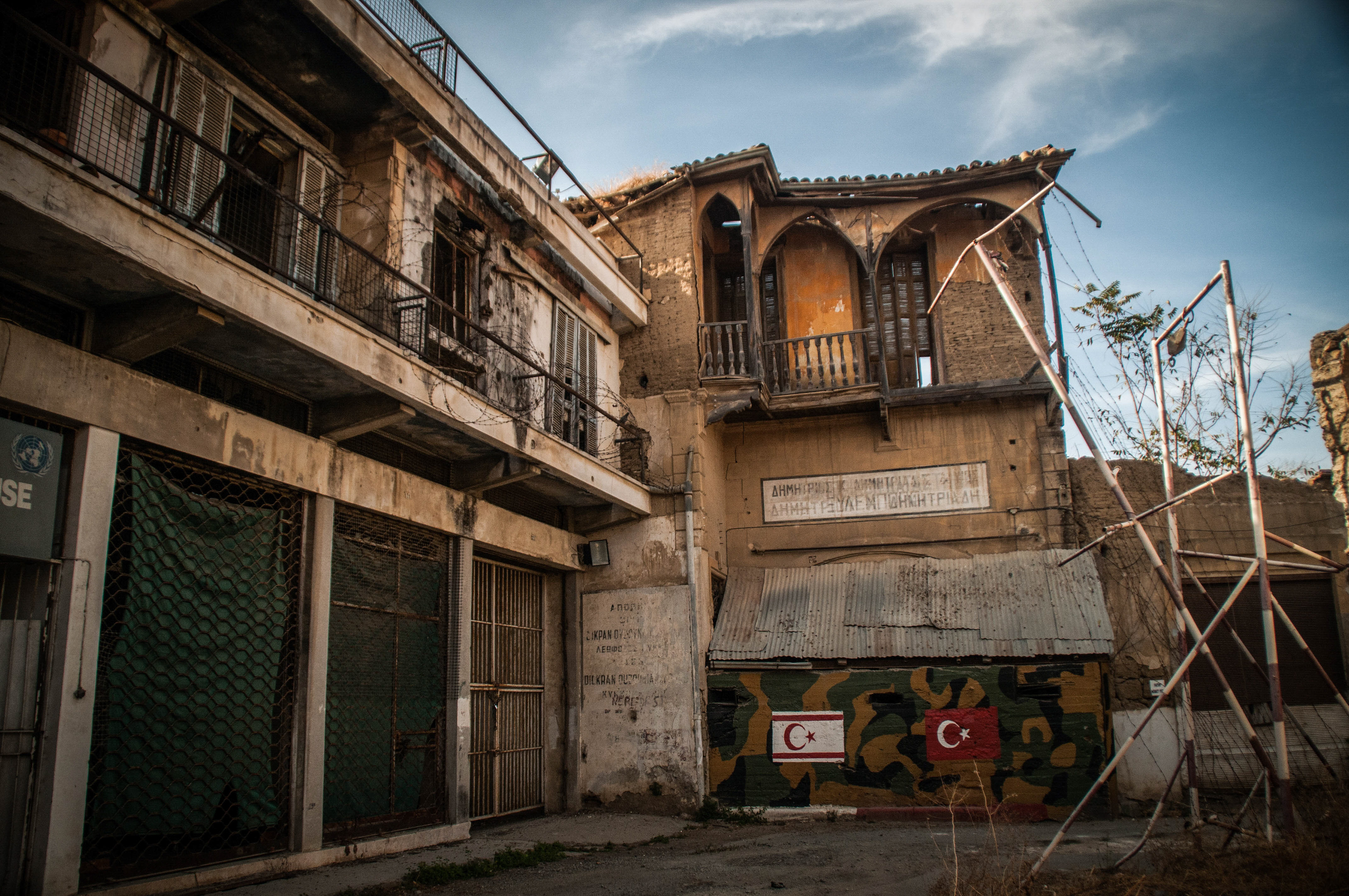
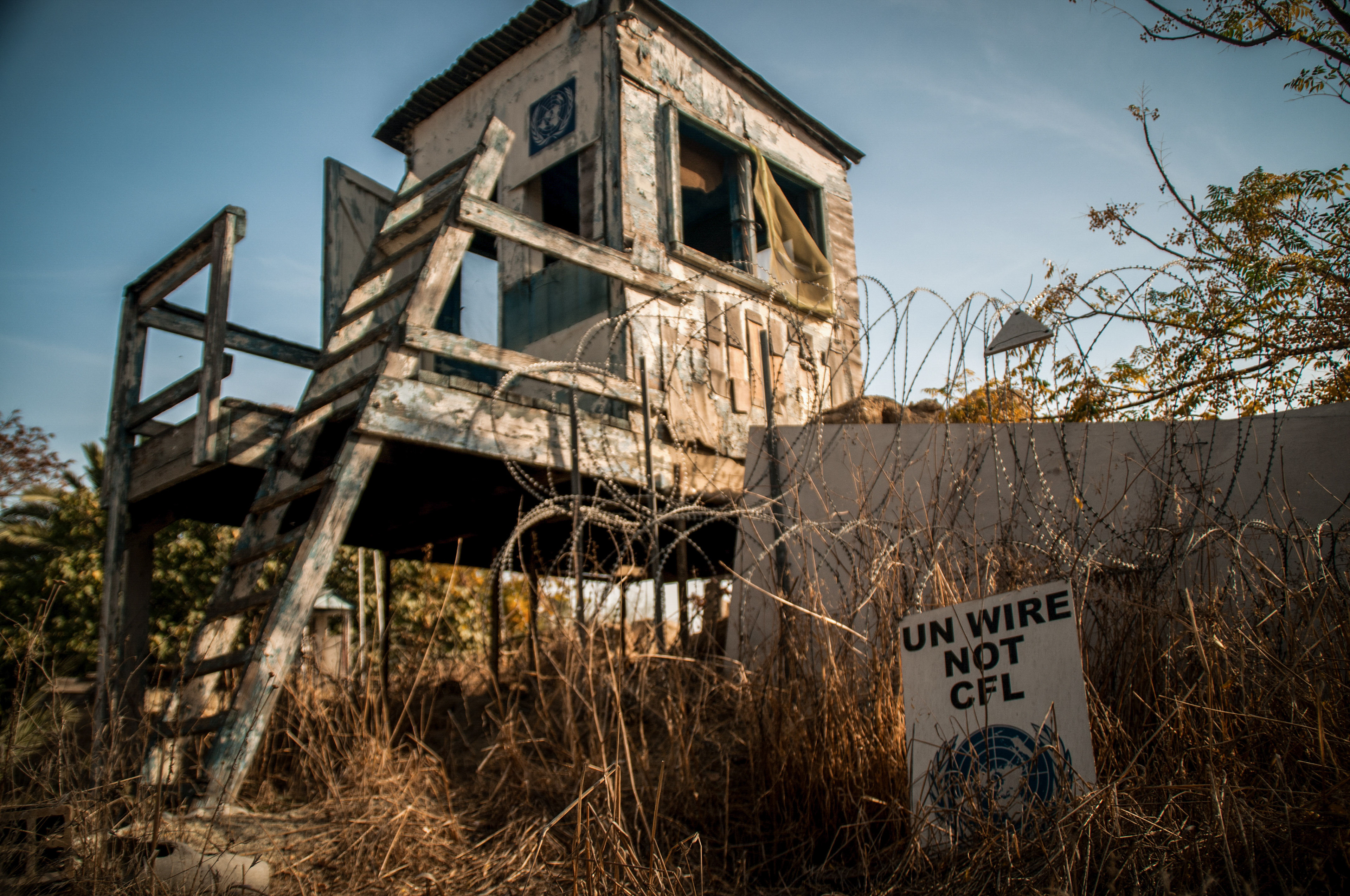
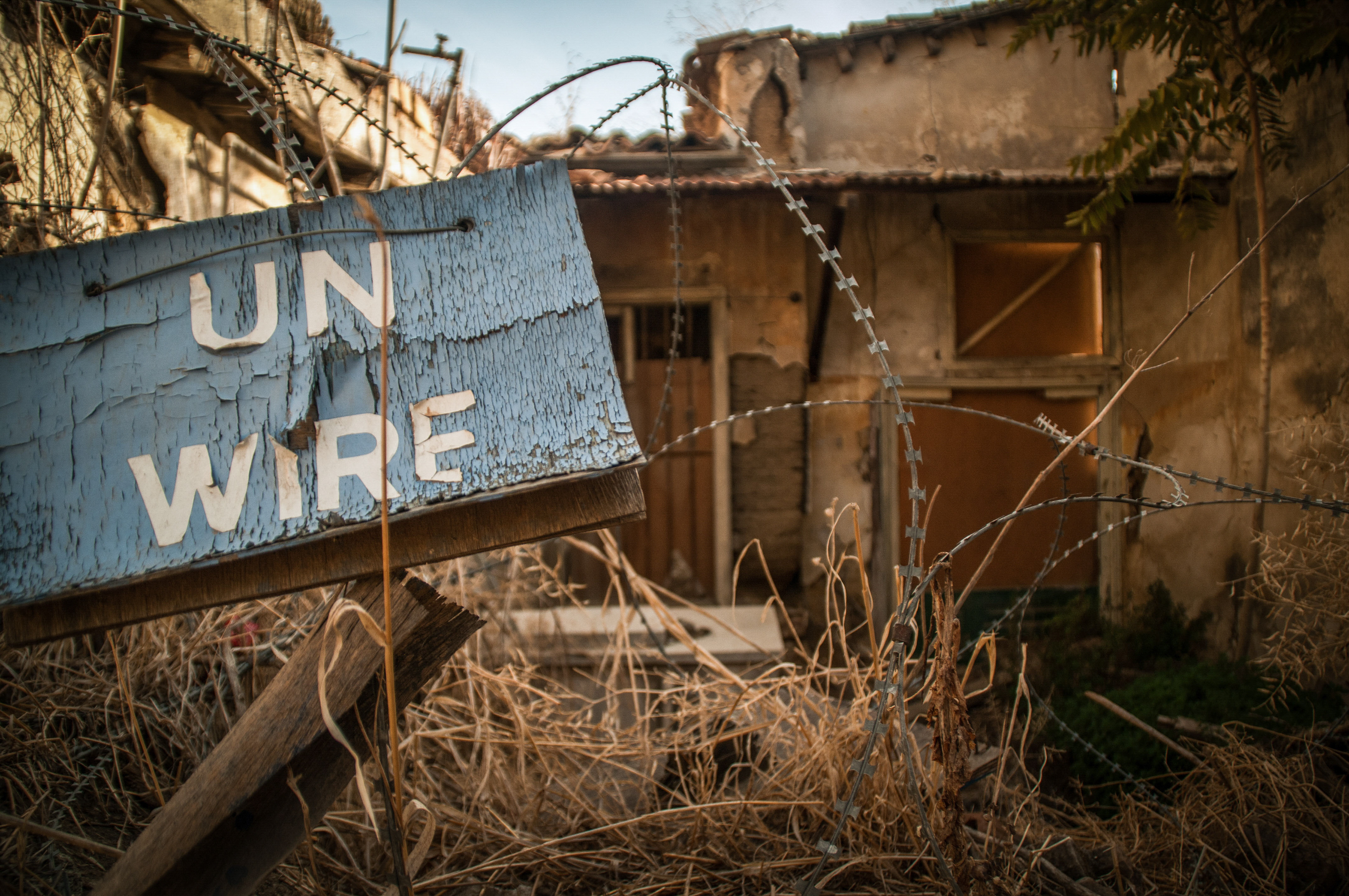
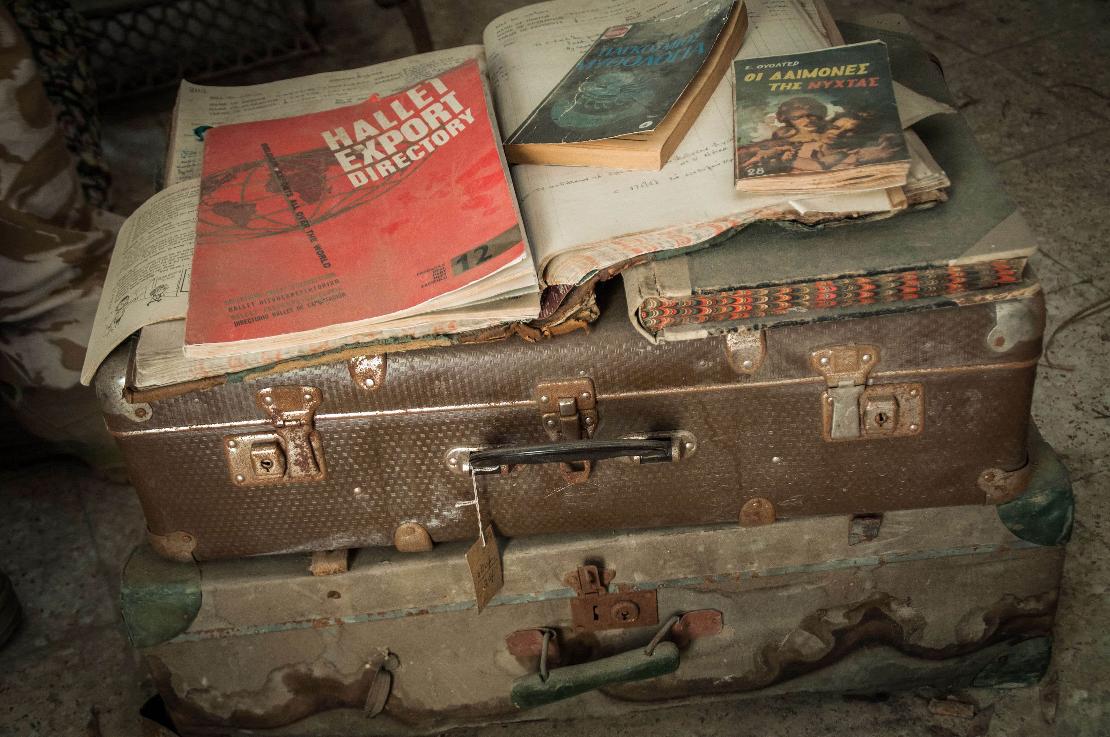
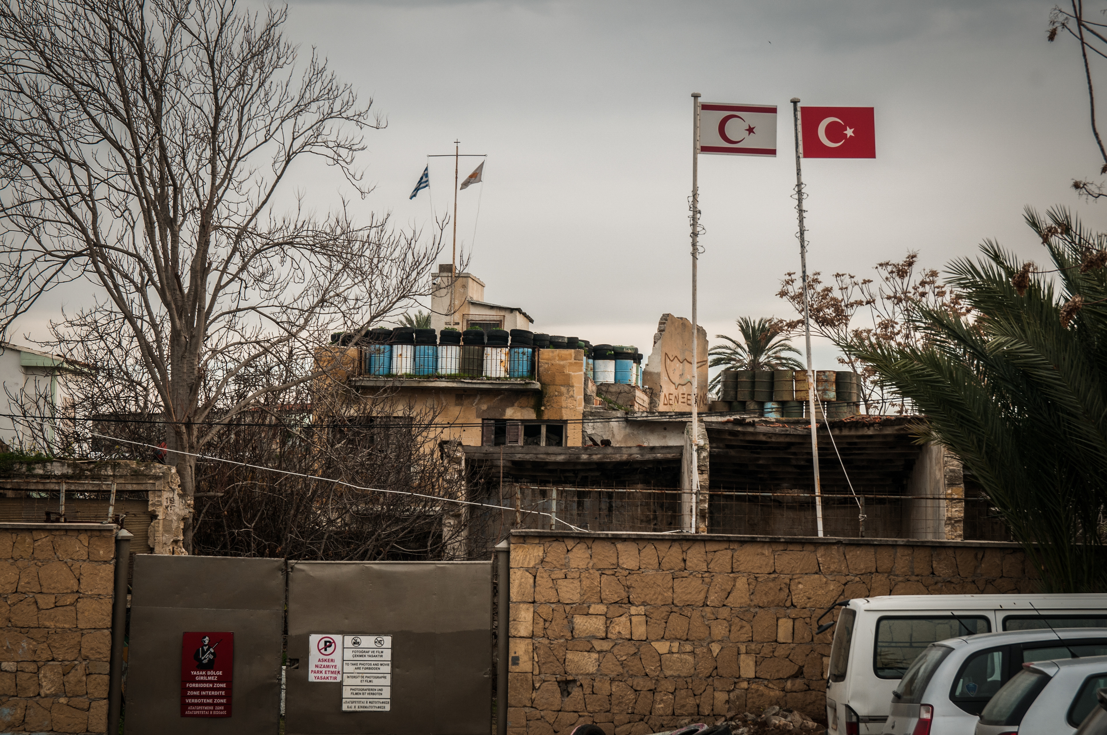
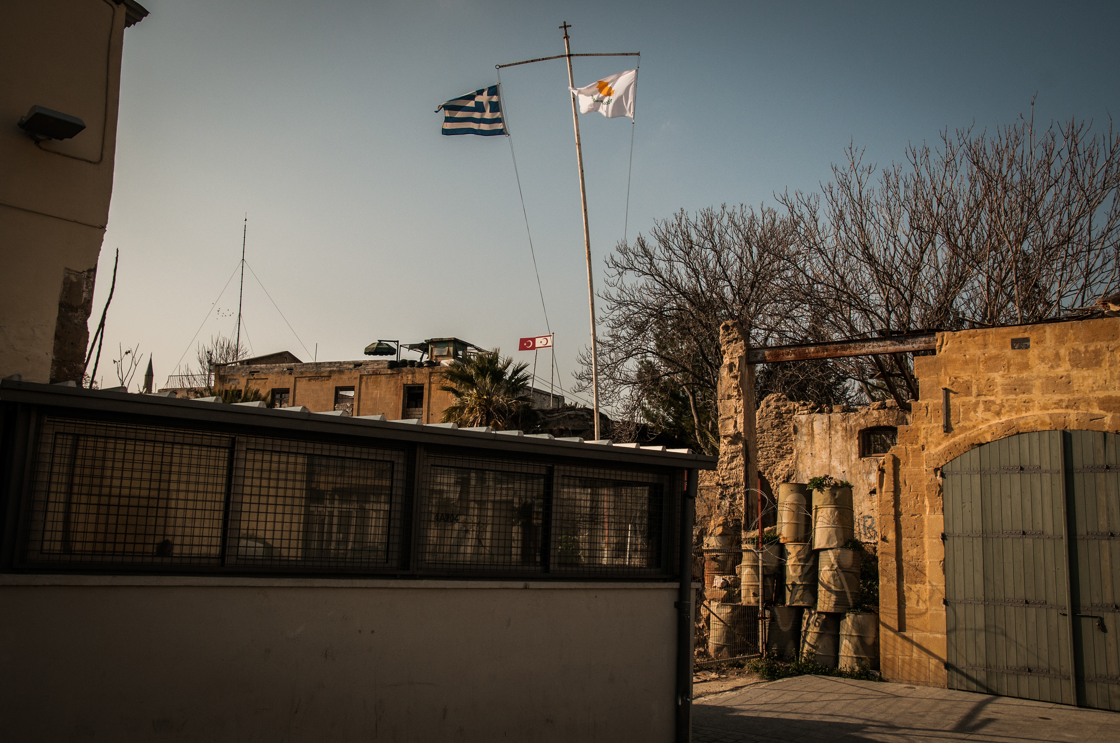
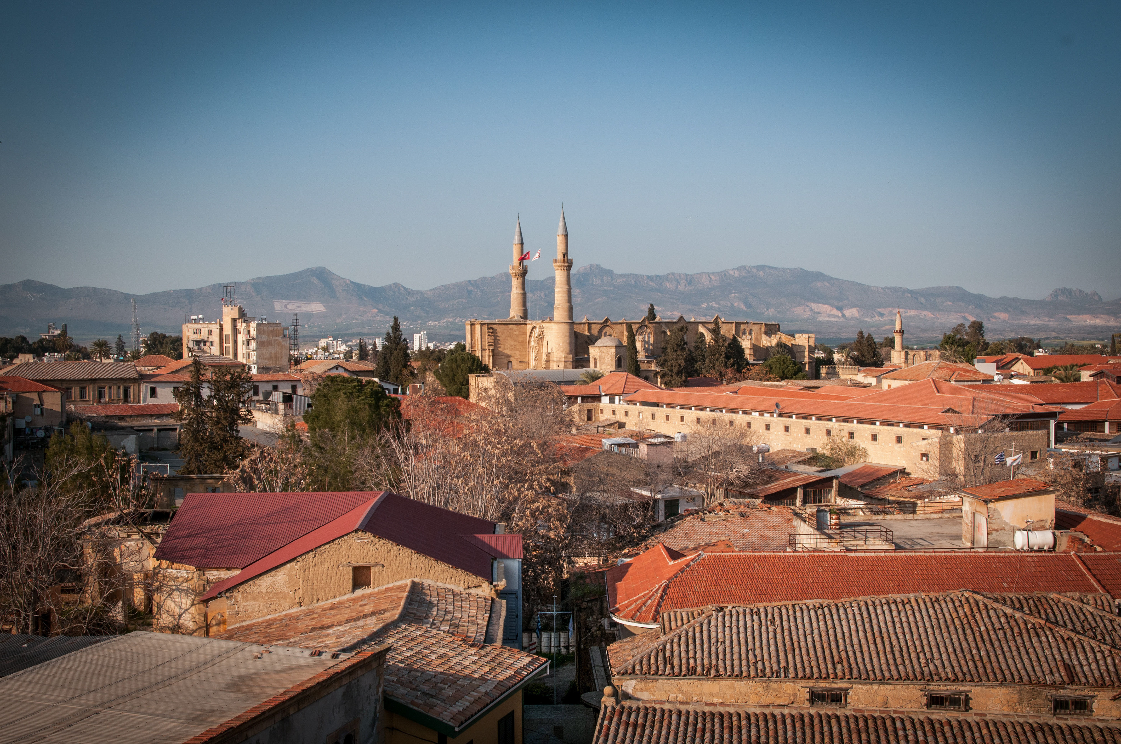
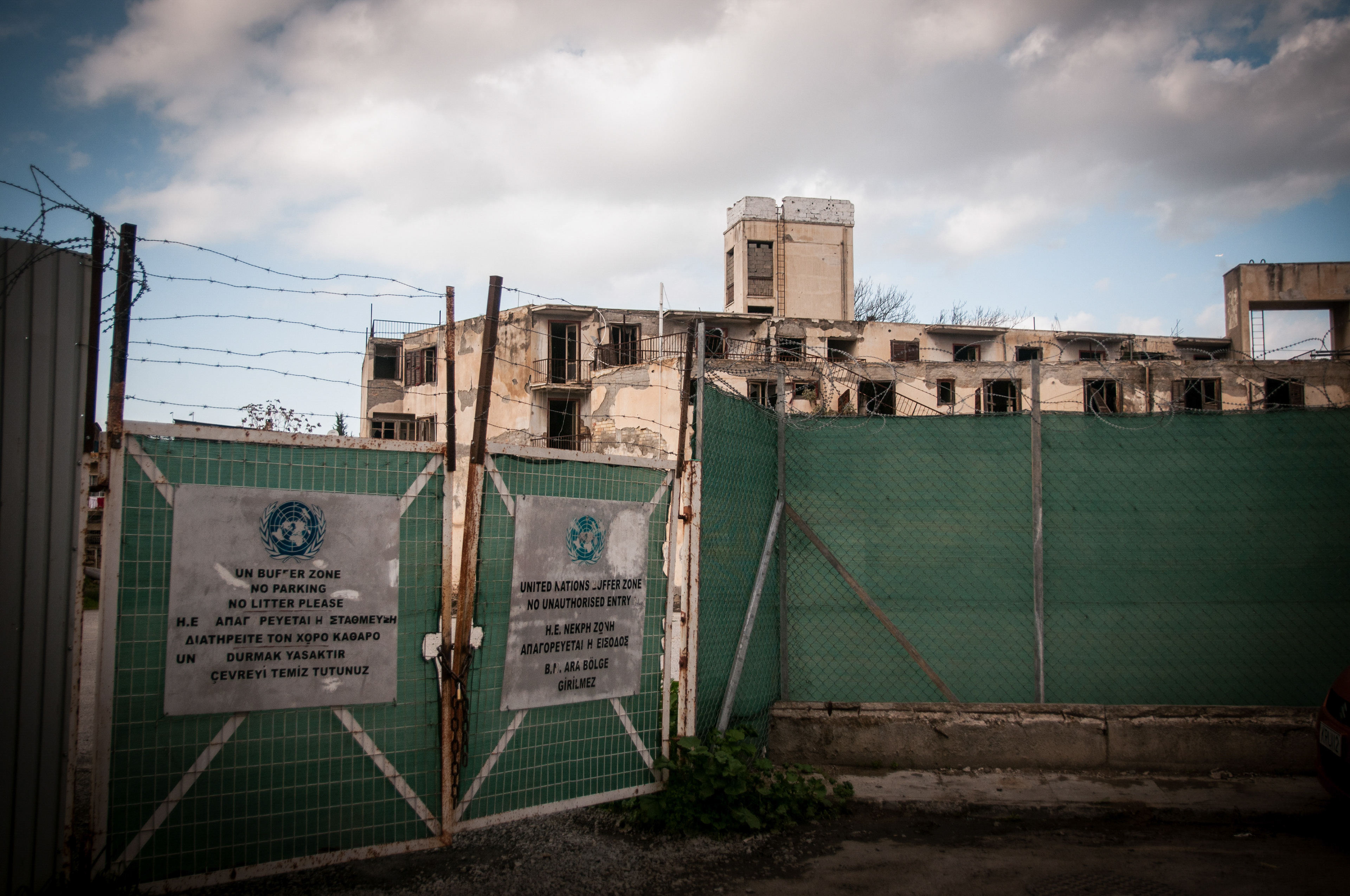
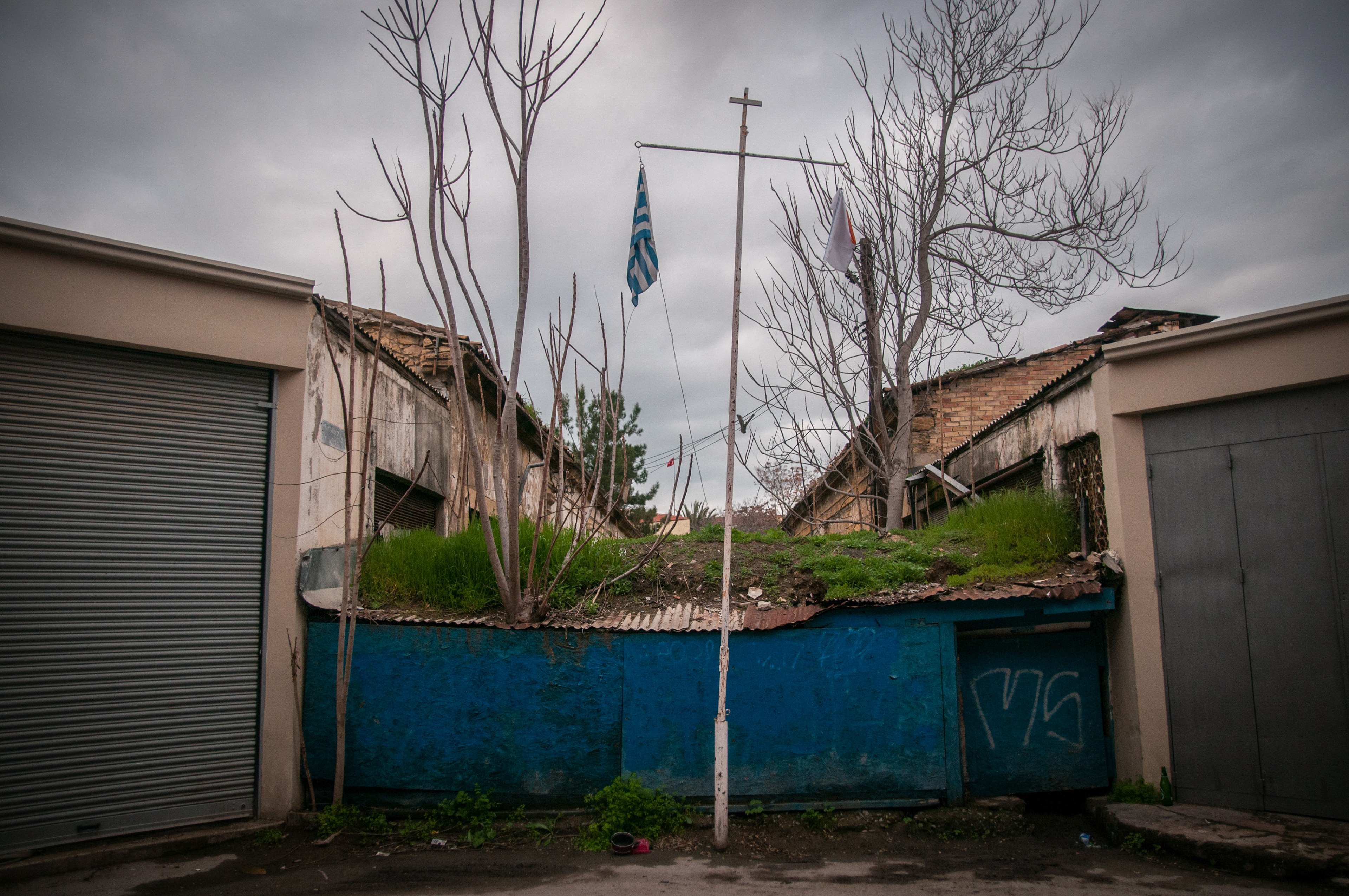
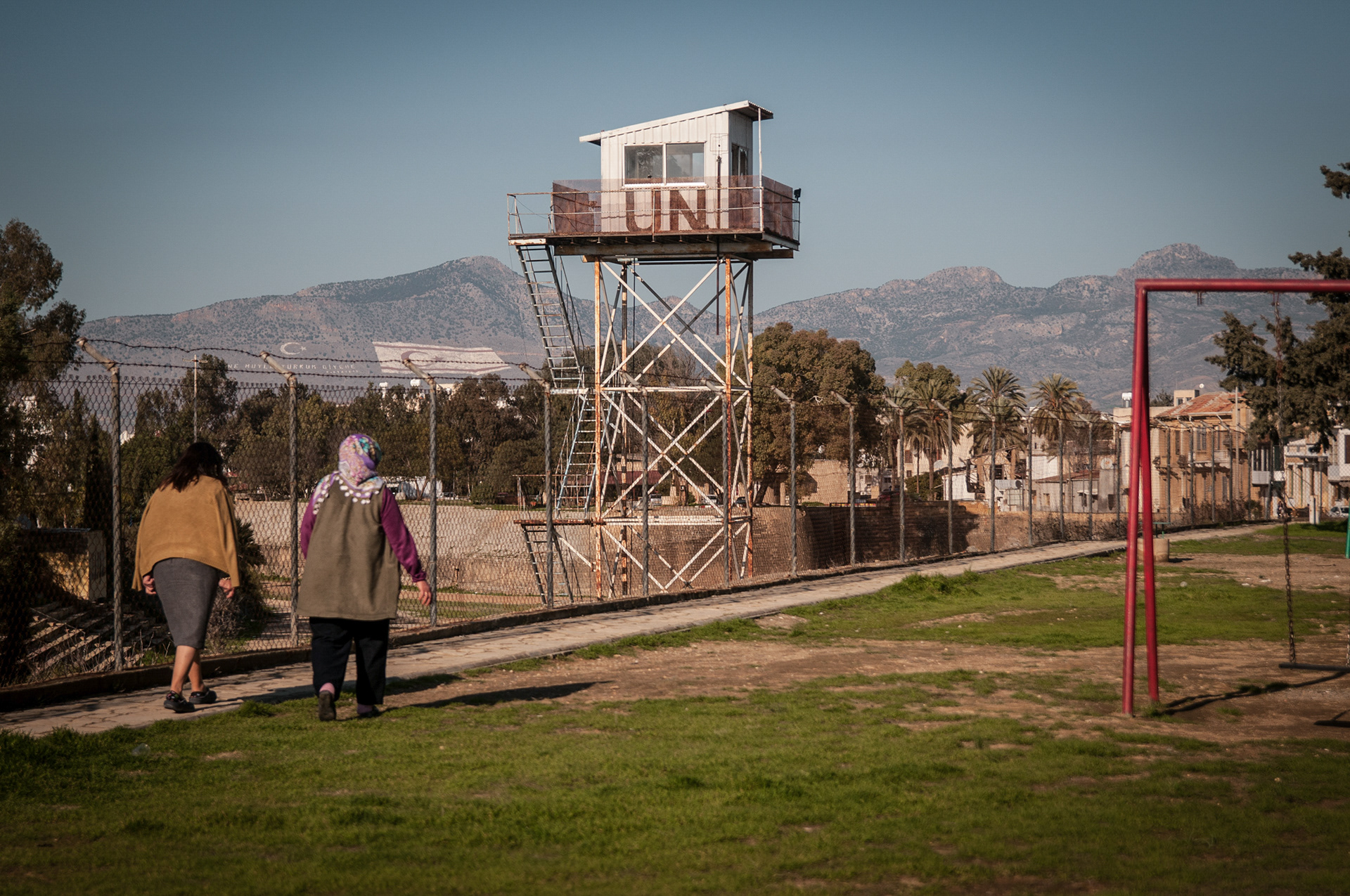
The United Nations Buffer Zone in Cyprus, commonly referred to as the Green Line and sometimes described as a “no man’s land,” emerged during the intercommunal conflicts of the 1960s and became a permanent physical boundary following the division of the island in 1974. Extending across Cyprus, the Buffer Zone passes through the centre of Nicosia, leaving the capital physically divided between its northern and southern sectors.
Within Nicosia’s historic centre, enclosed by the sixteenth-century Venetian Walls, the Buffer Zone assumes a particularly striking spatial presence. In some areas, the distance separating the two sides is only a few metres, narrowing to approximately 3.3 metres at its closest point. Since 1974, Turkish Cypriots have predominantly lived in the northern part of the island, while Greek Cypriots have predominantly lived in the south.
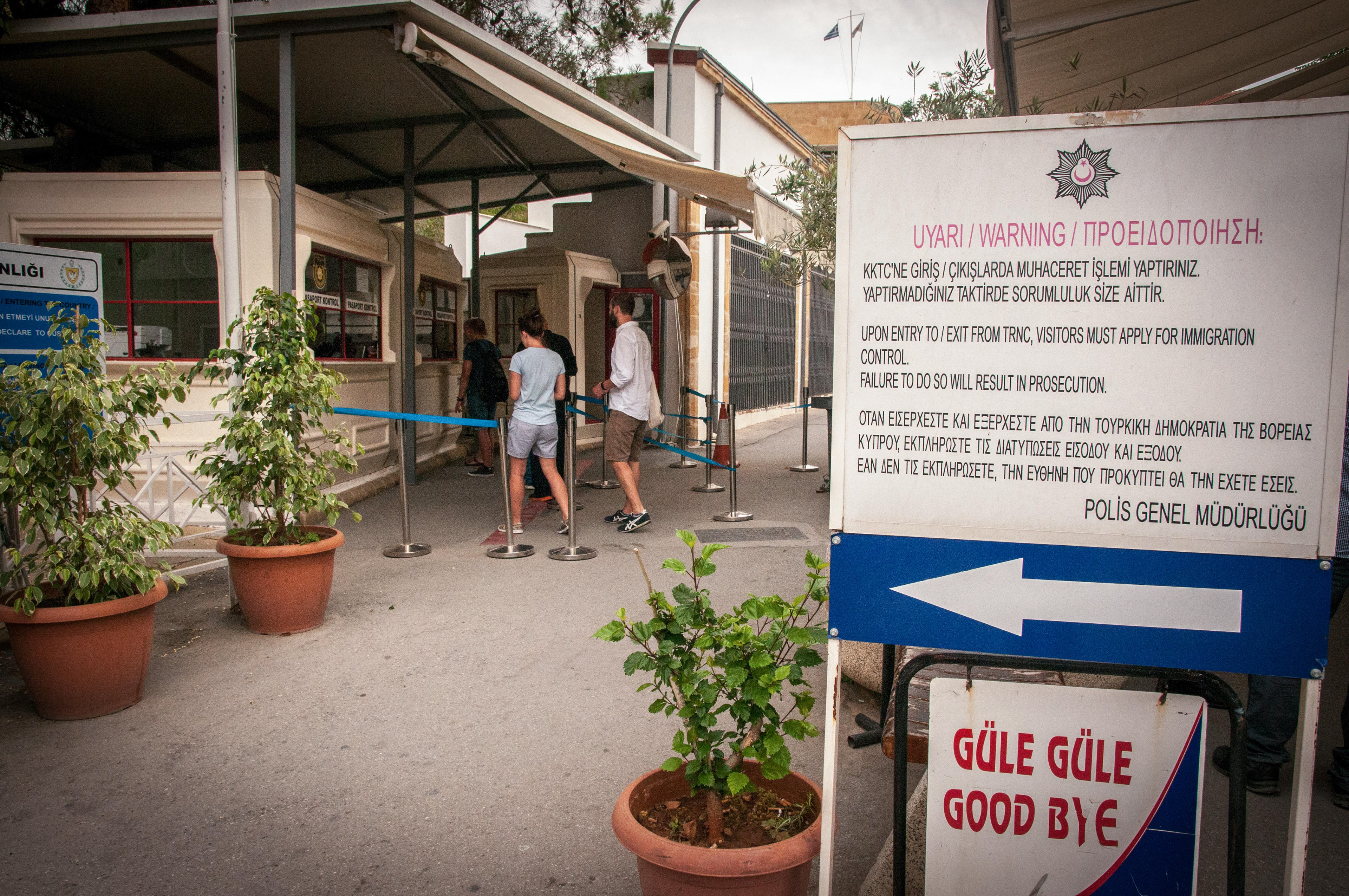
The history of the divided city is marked by conflict, displacement, fear, loss, and unresolved memories. Following the events that culminated in the division of Cyprus, many people from both communities were forced to leave their homes, neighbourhoods, possessions, and personal histories behind as they moved either north or south. For decades, these places remained physically inaccessible to those who had once inhabited them. Until the opening of the first crossing points in 2003, contact between the two sides was severely restricted, preventing many people from revisiting former homes, neighbourhoods, and friends.
This project focuses specifically on the section of the Buffer Zone that passes through the historic walled city of Nicosia. The Venetian Walls form a continuous architectural boundary around the old city and, paradoxically, provide a visual metaphor for both separation and interconnectedness: although the city is divided internally, its historic walls continue to encircle it as a single urban entity.
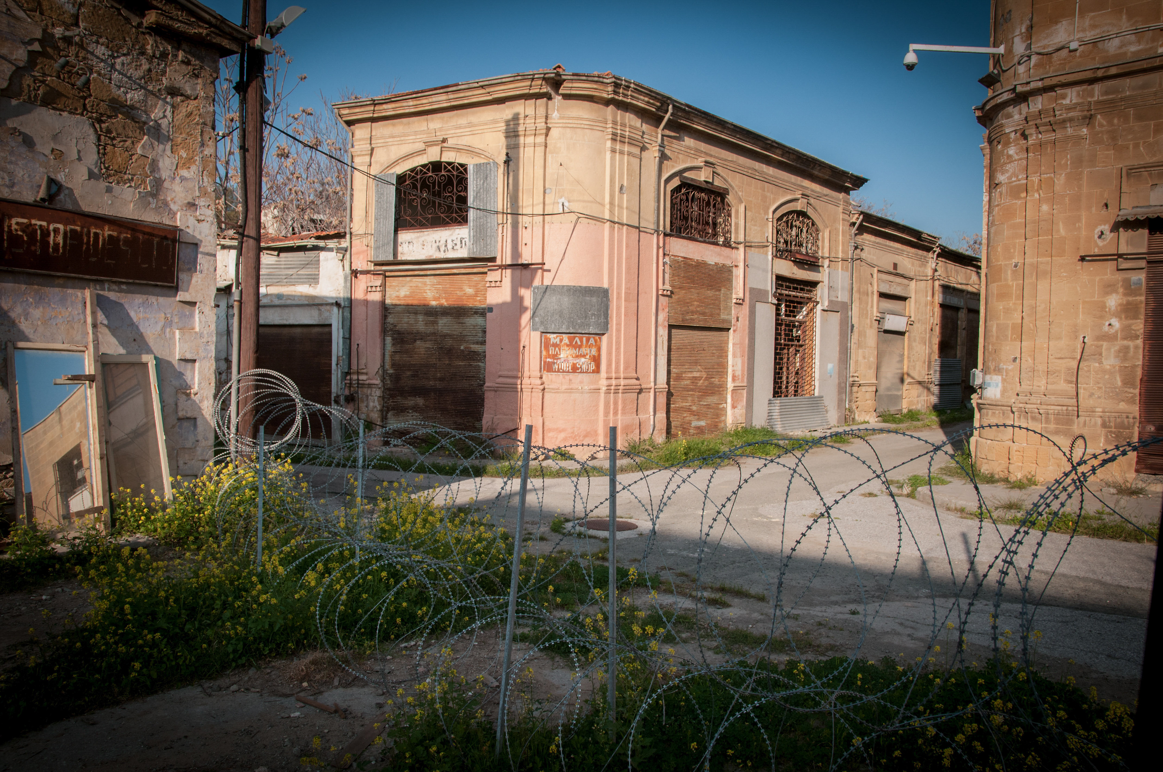
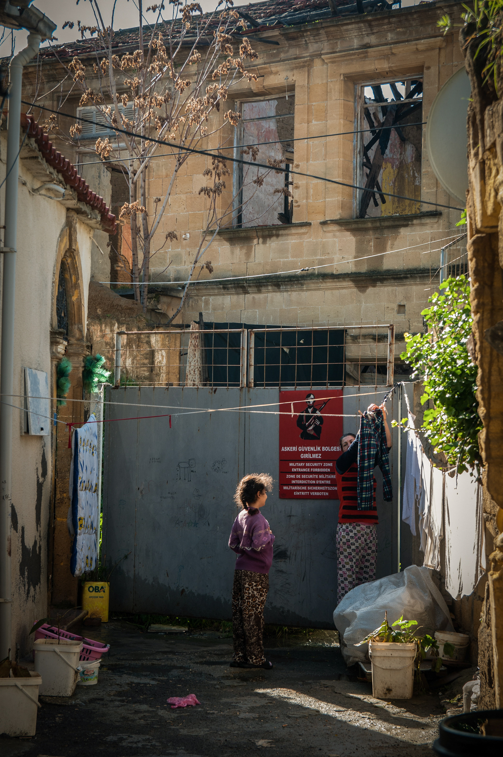
For more than five decades, much of the area within the Buffer Zone has remained inaccessible to ordinary civilian life and has been controlled by the United Nations Peacekeeping Force together with military forces positioned on either side. Houses, workshops, streets, and commercial buildings once embedded within the everyday life of the city have gradually deteriorated, leaving behind an urban landscape suspended between abandonment and memory.
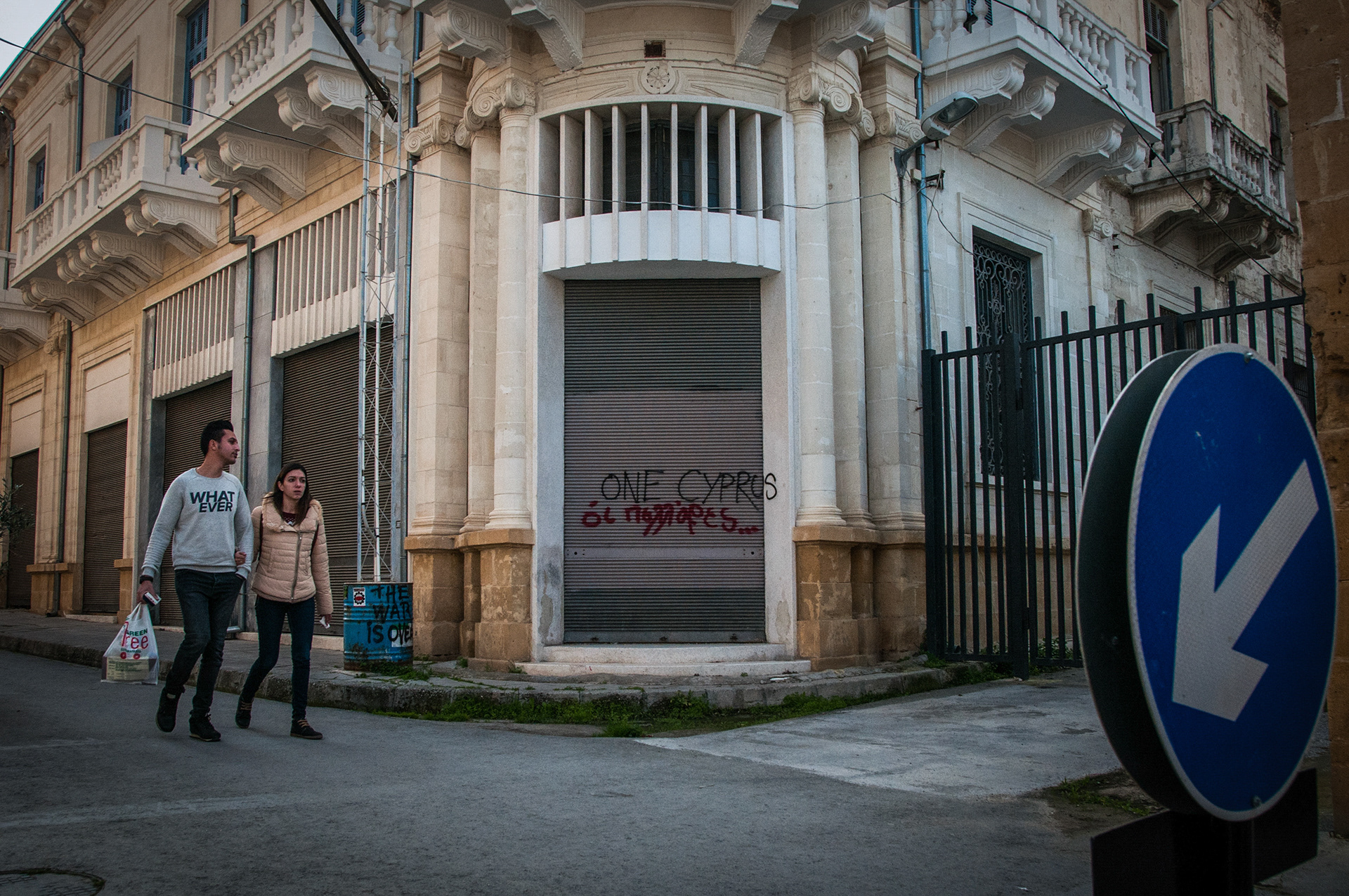
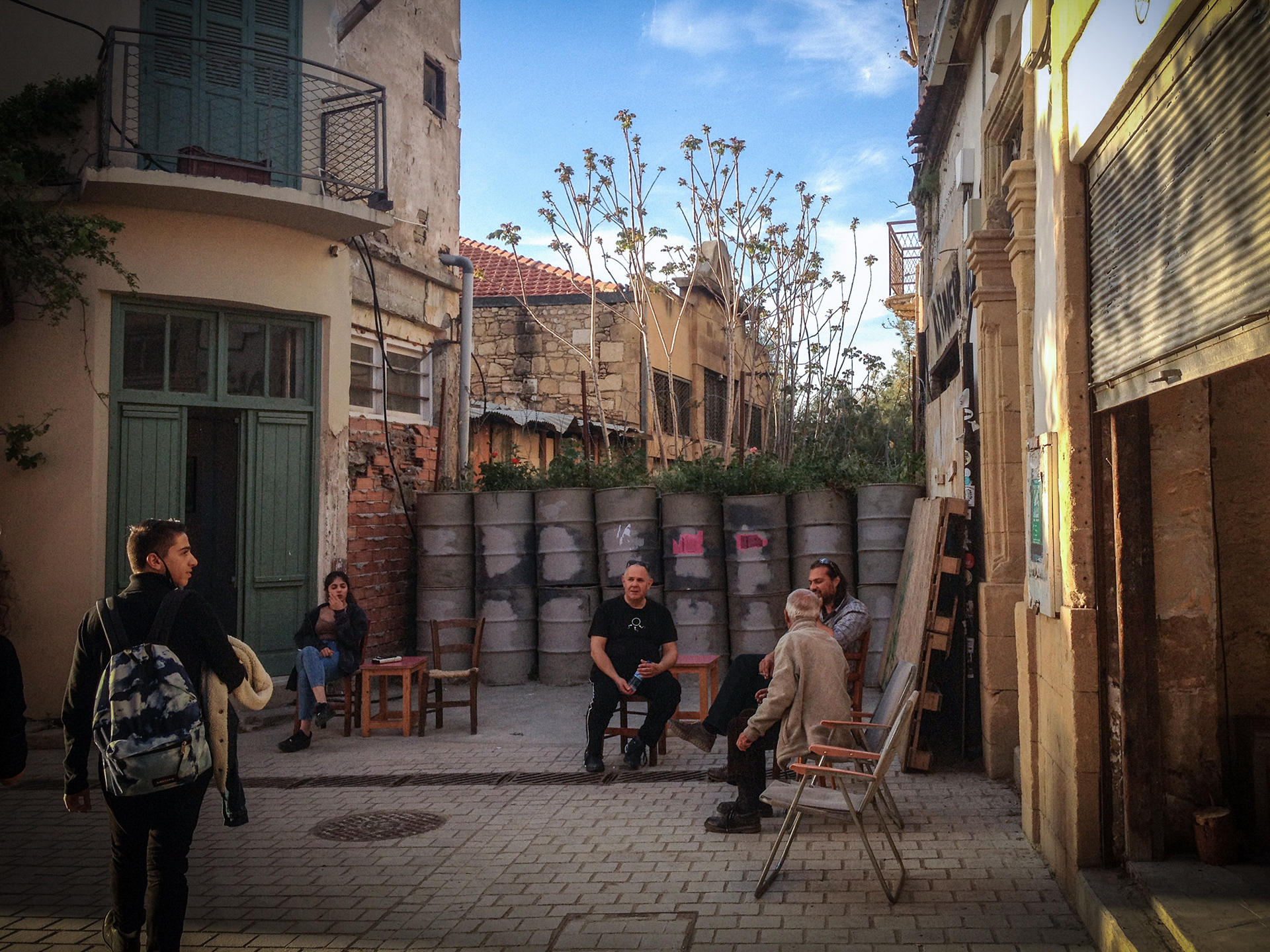
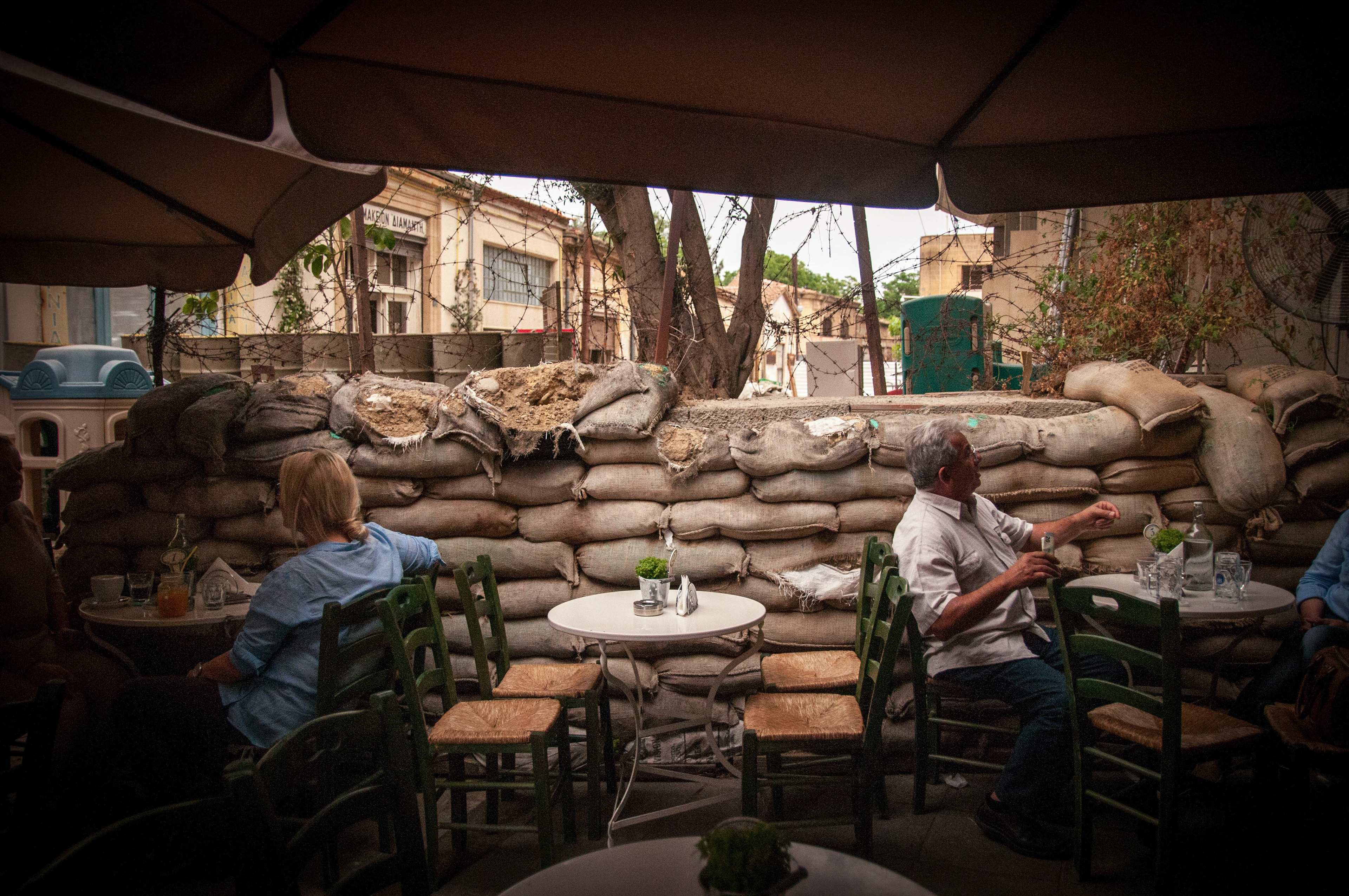
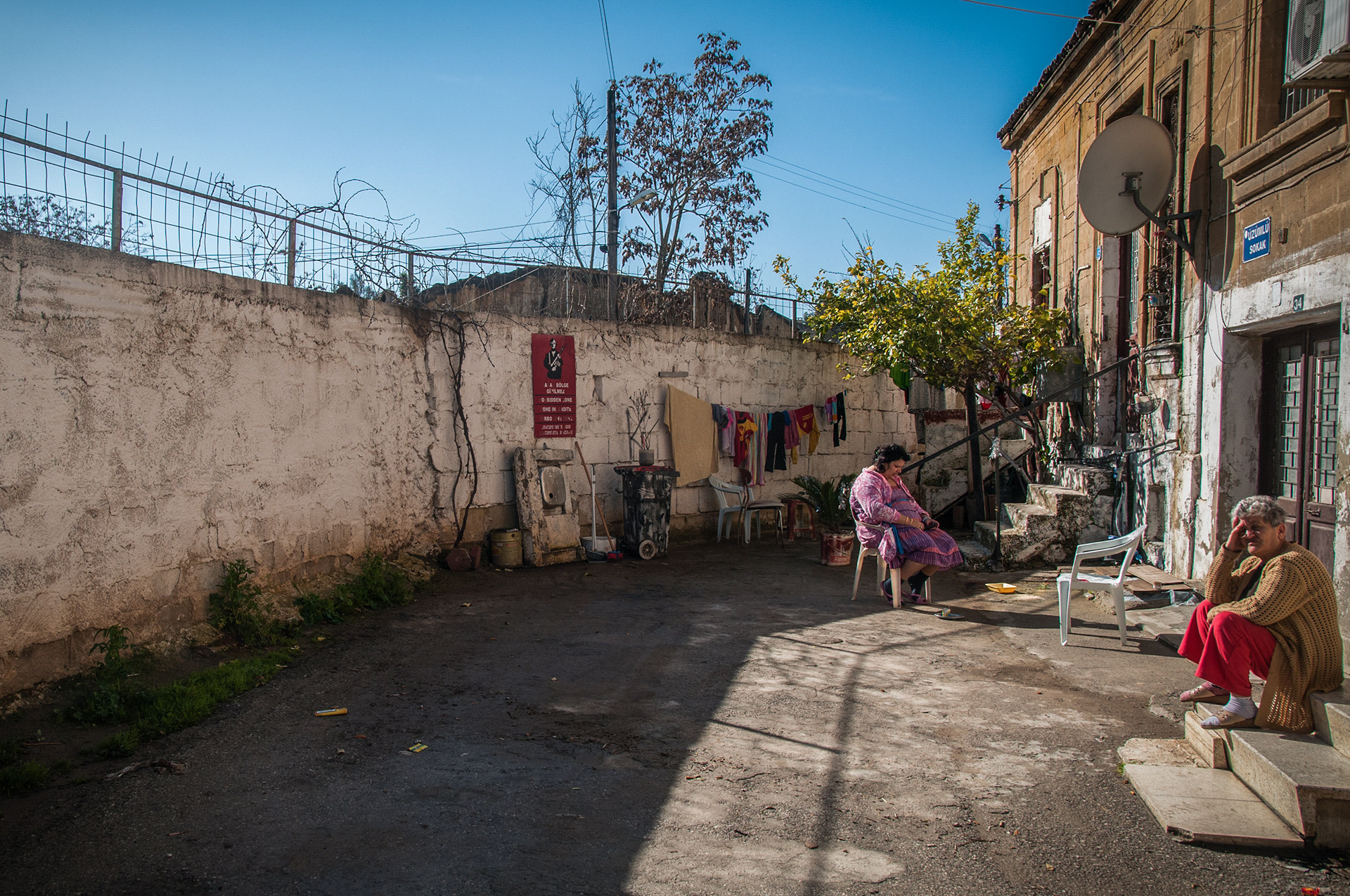
Rather than documenting only the deserted spaces within the Buffer Zone, this photographic project also examines the everyday life that continues along its boundaries. People work, shop, meet, and move through streets that exist immediately beside barricades, checkpoints, sandbags, and abandoned buildings. Over time, the physical presence of division has become incorporated into the ordinary rhythms of the city, producing a striking coexistence between everyday life and an unresolved political border.
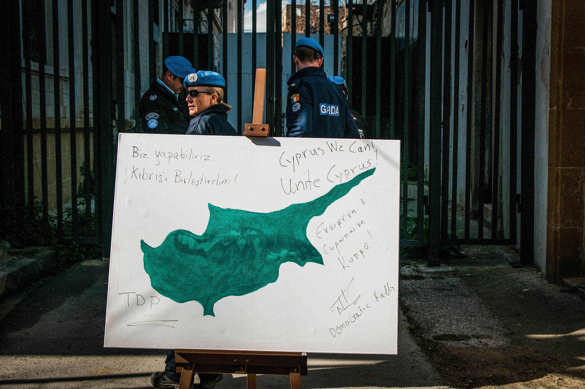
At the same time, the Buffer Zone has also functioned as a site of encounter, protest, and political expression. Particularly during periods of uncertainty surrounding the Cyprus peace negotiations, members of both communities advocating for reunification have gathered in and around the Buffer Zone, transforming a space historically associated with separation into a site through which demands for dialogue, reconciliation, and a shared future can be articulated.
Through these photographs, the project approaches the Buffer Zone not simply as a geopolitical boundary but as a complex space of memory, absence, everyday life, and continuing negotiation. The images explore how political division becomes inscribed onto architecture and urban space while simultaneously examining the ways in which life persists around, alongside, and sometimes in resistance to the border.